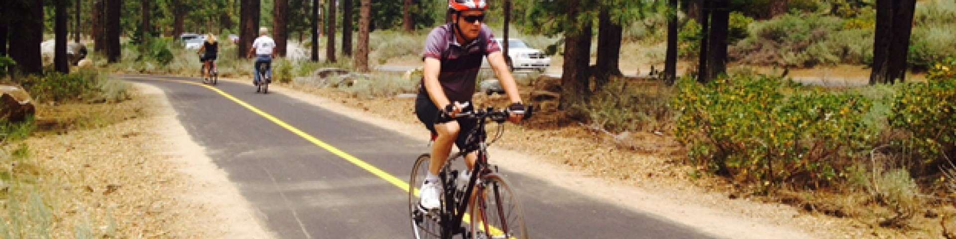
Biking
Mountain biking in forest can be anything from a challenging ride on the Tahoe Rim Trail to a leisurely ride along backcountry roads. This high alpine environment can be unforgiving to the unprepared. Riders should carry water, food, clothing and tools and be prepared for changing weather, riding conditions and accidents. Most trails travel through remote areas where help is not readily available.
Popular mountain bike routes include the Tahoe Rim Trail, Corral, Saxon Creek, Tyrolian, Star Lake, Stanford Rock, Monument Trail, Van Sickle, Power Line Trail, Sidewinder, Armstrong Pass, Armstrong Connector, Mount Watson, Griff Creek and Flume Trail.
Maps of mountain biking trails and free copies of the MVUM are available at the Forest Supervisor's Office in South Lake Tahoe.
Precautions
- Wear a helmet
- Recognize your physical and technical limits
- Carry more water as you think you'll need
- Make sure your bike is functioning properly
- Carry repair and first aid kits and know how to use them
- Use a map, guidebook and/or guide
- Ride with others and re-group often
- Reserve enough daylight to retrace your route if you encounter problems
- On downhill runs, watch for uphill riders
eBikes in the Lake Tahoe Basin
The Lake Tahoe Basin Management Unit has determined that motor assisted bicycles (electric, gas or diesel) are motorized vehicles. Use of motor assisted bicycles is only allowed on motorized trails. Please visit the Region 5 Motor Vehicle Use Map finder to download map.
Search for Biking Opportunities
Showing: 1 - 10 of 14 results
Angora Ridge
Angora Ridge can be accessed seasonally via Forest Road 1214. Take Highway 89 northwest from the City of South Lake Tahoe, turn left on Fallen Leaf Road then just past the green gate turn left on…
Camp Richardson Resort
A year-round destination, historic Camp Richardson Resort offers everything wonderful about outdoor recreation at Lake Tahoe in the spring, summer, winter and fall. Warm seasons include biking,…
Fallen Leaf Campground
Fallen Leaf Campground is located on the south end of beautiful Lake Tahoe, approximately one-quarter mile north of Fallen Leaf Lake off of Highway 89. The campground is typically open beginning in…
Genoa Peak Road 14N32
Genoa Peak Road (Forest Road 14N32) is located on national forest lands on the east shore of Lake Tahoe and is typically accessible beginning Memorial Day through Nov. 15, conditions and weather…
Kaspian Campground
Kaspian Campground is located on National Forest lands four miles south of Tahoe City, on Highway 89. The campground is operated under a special use permit by Tahoe Recreation, a Division of Vista…
Kiva Picnic Area
Kiva picnic area is on the south shore of beautiful Lake Tahoe on Highway 89 three miles northwest of the City of South Lake Tahoe. Nestled among native pine trees, Kiva picnic area offers a quiet…
Lake Tahoe - East Shore
The east shore of Lake Tahoe is located on the Nevada side along the west slope of the Carson Range. Access to this mostly undeveloped side of the lake is via Highways 50 and 28. Recreational…
Lake Tahoe - North Shore
The north shore of Lake Tahoe is half and half. Half lies in California and the other half in Nevada. Access is via Highway 28, which stretches from Tahoe City, California to Incline Village,…
Lake Tahoe - South Shore
The south shore of Lake Tahoe is located on the California side of the lake with the main access via Highways 50 and 89. The south shore boasts a spectrum of commercial development intermixed with…
Lake Tahoe - West Shore
The west shore of Lake Tahoe is located on the California side of the lake. Highway 89 stretches along this side of the lake with access via Highway 50 to the south and Interstate 80 to the north.…