

Visitor Maps and Guides
Drop by one of our local offices to pick up a hardcopy map or download a digital map to your smart device using the Avenza Maps app.
You can also explore your forests and grasslands with the Interactive Visitor Map.
Get maps on your smartphone or tablet

Get started using the Avenza Maps application to download and purchase National Forest maps on your mobile device
Interactive Visitor Map

Use the interactive map to locate roads, campgrounds, and other recreation sites on your favorite national forest or grassland.
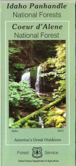
The Idaho Panhandle National Forests is comprised of three proclaimed forests. There is a separate map for each of these areas:
- Kaniksu (north third of the IPNF)
- Coeur d'Alene (middle third of the IPNF)
- St. Joe (south third of the IPNF).
Detailed visitor maps are available directly from IPNF offices for $14 each.
These maps include many Forest Service system roads, recreation sites, lakes, rivers, streams, mountain peaks, and ownership.
You can also click on each map to order a hardcopy directly from the USGS Store.
Click here to purchase a digital version for use with the mobile Avenza Application.
|
Image
|
Image

|
Image

|
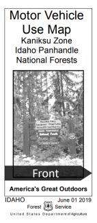
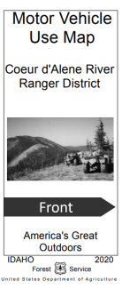
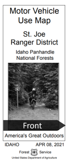
These maps show National Forest System roads, National Forest System trails, and the areas on the National Forest System lands that are designated for motor vehicle use pursuant to 36 CFR 212.51.
The Idaho Panhandle National Forests is divided into three maps:
- Kaniksu Zone (Bonners Ferry, Priest Lake and Sandpoint Ranger Districts)
- Coeur d'Alene River Ranger District
- St. Joe Ranger District
Stop into one of our district offices to pick up a free copy of these maps or download a georeferenced PDF.
You can also click here to download a digital version for use with the mobile Avenza application
|
Image
|
Image
|
Image
|
|
Image
|
Image
|
Image

|
Snowmobiling on the Kaniksu Portion of the Idaho Panhandle NFs
Until the Kaniksu Over-Snow Vehicle Travel Plan takes effect, motorized over-snow travel in the Priest Lake, Sandpoint, and Bonners Ferry areas of the forest will be regulated by the current Snowmobile Guide in effect since 2013.
Snowmobile Guide — Priest Lake | Sandpoint | Bonners Ferry
Snowmobiling on the St. Joe Ranger District
Snowmobiling on the Couer d’Alene River Ranger District
FSGeodata Clearinghouse
The USDA Forest Service Geodata Clearinghouse is an online collection of digital data related to forest resources. Through the Clearinghouse you can find datasets related to forests and grasslands, including boundaries and ownership, natural resources, roads and trails, as well as datasets related to State and private forested areas, including insect and disease threat and surface water importance. You can also find downloadable map products, raster data, and links to other sources of forest resource information.
Forest Service Enterprise Data - use the interactive ArcGIS Online Data Extract Tool to access and download Idaho Panhandle National Forest data available on the EDW (Enterprise Data Warehouse).